The L-band is one of the most versatile and heavily used parts of the radio spectrum. It supports everything from GPS navigation and aviation communications to mobile satellite services (MSS), IoT, and 5G backhaul.
Let’s explore what the L-band is, where it sits in the spectrum, and why it’s so important to modern communication systems.
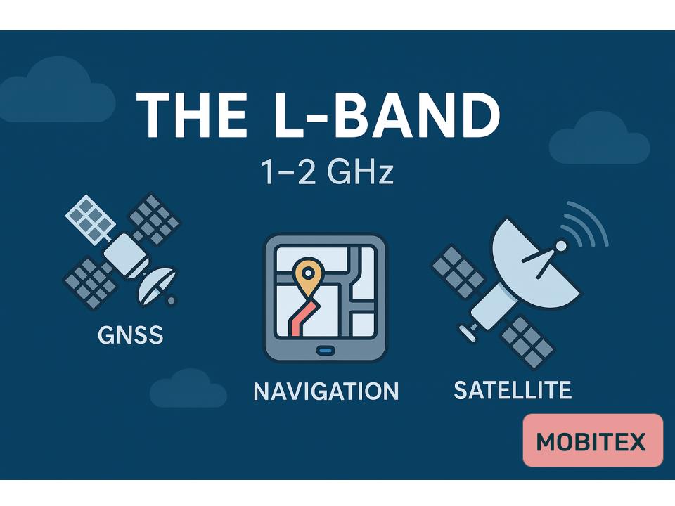
🌍 L-Band Overview
| Parameter | Details |
|---|---|
| Frequency Range (approx.) | 1 GHz – 2 GHz |
| Wavelength Range | 30 cm – 15 cm |
| ITU Classification | Microwave / Super High Frequency (SHF) lower end |
| Key Applications | GNSS, aviation, satellite, mobile, radar, IoT |
The exact limits of the L-band depend on the context (ITU, IEEE, or military), but the most common definition is 1–2 GHz.
This range overlaps between upper UHF and lower microwave frequencies — offering a balance of long-range coverage and moderate data capacity.
🛰️ Major Applications of the L-Band
1. Global Navigation Satellite Systems (GNSS)
One of the most critical uses of the L-band is satellite navigation — like GPS, Galileo, GLONASS, and BeiDou.
| System | Frequencies (MHz) | Band Name | Use |
|---|---|---|---|
| GPS | 1575.42 (L1), 1227.6 (L2), 1381 (L3), 1176.45 (L5) | L1–L5 | Civil & Military Positioning |
| Galileo | 1575.42, 1176.45, 1207.14 | E1, E5a, E5b | GNSS for Europe |
| GLONASS | 1602 ± 7×0.5625 | L1 | Russian GNSS |
| BeiDou | 1561, 1207, 1176 | B1, B2, B3 | Chinese GNSS |
The L-band’s excellent atmospheric penetration and low free-space loss make it ideal for navigation signals that must reach the Earth’s surface reliably.
2. Aeronautical and Maritime Communications
The L-band supports aviation communication links used for safety and air traffic control:
- 960–1215 MHz: Distance Measuring Equipment (DME) and ADS-B
- 1545–1559 MHz / 1646.5–1660.5 MHz: Aeronautical Mobile Satellite (INMARSAT, Iridium)
- 1560–1626.5 MHz: Used for aircraft and ship satellite links
These frequencies are resilient under all weather conditions — crucial for safety-of-life systems.
3. Mobile Satellite Services (MSS)
The L-band is home to several major satellite communication constellations:
- Inmarsat (1.5/1.6 GHz) – Global mobile voice/data
- Iridium (1616–1626.5 MHz) – Polar-orbiting satellite network
- Globalstar (1610–1618.25 MHz) – IoT, tracking, low-speed data
- Ligado / SkyTerra (1525–1559 MHz, 1626.5–1660.5 MHz) – Hybrid terrestrial-satellite broadband
Because of its low path loss and smaller antennas, the L-band is ideal for mobile and handheld satellite terminals.
4. Radar & Surveillance Systems
Portions of the L-band are also allocated for:
- Airborne early warning radar (AEW&C)
- Air traffic control radar (~1.2–1.4 GHz)
- Weather radar (~1.3 GHz)
L-band radar can see through rain and foliage better than higher-frequency systems like X-band, making it valuable for long-range detection.
5. Mobile & Broadband (5G Mid-Band Extension)
Telecom regulators are beginning to repurpose portions of the L-band for terrestrial broadband, especially:
- 1427–1518 MHz (3GPP Band 11/21/32/75–76)
- Used for LTE supplemental downlink (SDL) and 5G backhaul
- Offers excellent coverage with fewer towers due to longer wavelengths
⚙️ Propagation Characteristics
- Moderate range and good penetration: L-band signals travel farther and penetrate buildings better than higher bands (like C or Ku).
- Lower data capacity: Limited bandwidth compared to higher-frequency spectrum.
- Weather resistant: Minimal attenuation from rain and fog.
- Ideal for mobile terminals: Small antennas still provide strong links.
📡 Common Sub-Bands
| Range (MHz) | Primary Use |
|---|---|
| 960 – 1215 | Aviation (DME, ADS-B) |
| 1215 – 1300 | Radar / Secondary GNSS |
| 1350 – 1400 | Government / Radar |
| 1427 – 1518 | 4G/5G SDL, IoT |
| 1518 – 1559 | MSS Downlink (Inmarsat) |
| 1559 – 1610 | GNSS (GPS, Galileo, GLONASS, BeiDou) |
| 1610 – 1626.5 | MSS Uplink (Iridium, Globalstar) |
| 1660.5 – 1670 | Weather & Research Satellite |
🧠 Why the L-Band Matters
The L-band hits the sweet spot between range and data capacity:
- Low enough for wide coverage and reliability
- High enough to carry digital data and precision navigation
- Supports both space-based and terrestrial systems
It forms the core backbone for navigation, global satellite connectivity, and many emerging 5G and IoT applications.
🧾 Summary
| Aspect | L-Band Highlights |
|---|---|
| Frequency Range | 1 – 2 GHz |
| Main Uses | GPS, aviation, radar, satellite, IoT |
| Propagation | Excellent coverage, minimal rain fade |
| Key Systems | GPS, Inmarsat, Iridium, ADS-B, 5G SDL |
| Advantages | Reliable, mobile-friendly, weatherproof |