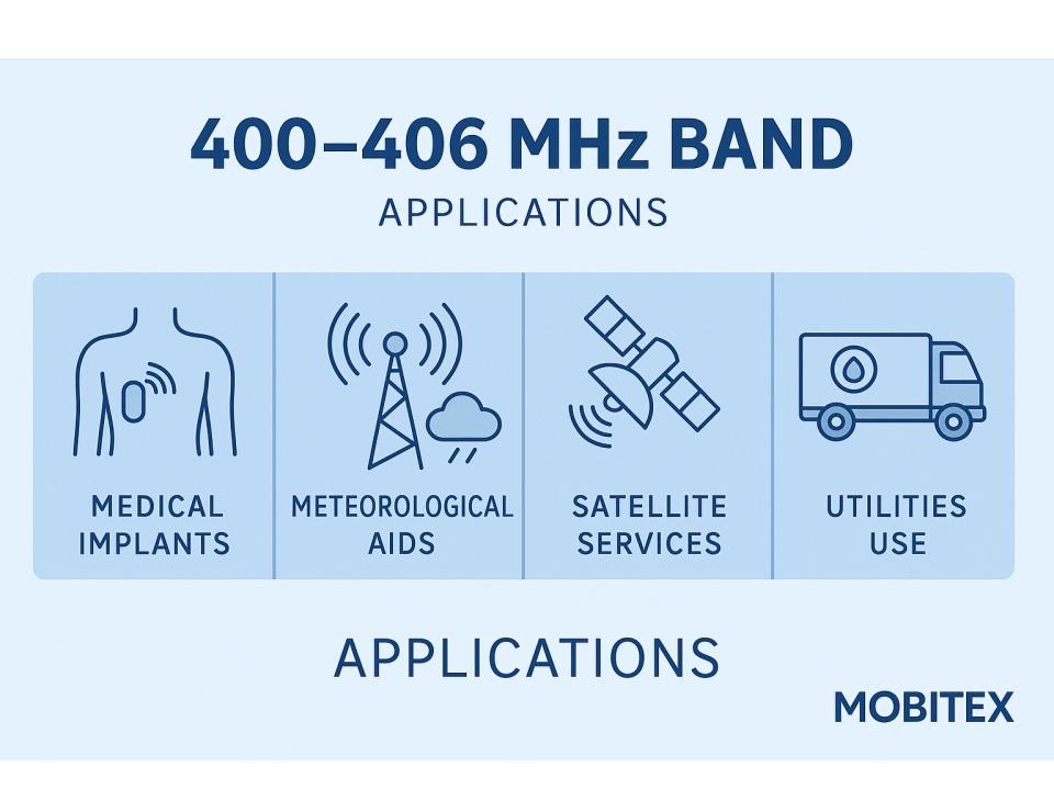
Every weather forecast you have seen in the past fifty years has depended, in some part, on a narrow slice of UHF spectrum sitting just above the top of the military aviation block. The 400 to 406 MHz region — sometimes called the UHF MetSat and MetAids band — carries an extraordinary density of function for its size: radiosonde transmissions from weather balloons climbing through the stratosphere, data uplinks from ocean buoys and wildlife trackers, meteorological satellite downlinks, and one of the more quietly important frequency coordination challenges in spectrum management. It does all of this from a band less than 6 MHz wide.
The allocation architecture
The ITU and national regulators divide this region into several distinct but overlapping sub-bands, each serving a specific function within the broader meteorological data chain.
The segment from 400.15 to 401 MHz carries meteorological satellite downlinks, radiosonde transmissions, mobile satellite services, and space research allocations. This is the primary downlink window for low-Earth orbit meteorological satellites passing overhead and retransmitting collected sensor data to ground stations below.
Above that, the 401 to 403 MHz band is allocated to earth exploration satellite service and meteorological satellite service in the Earth-to-space direction — meaning it carries uplinks from ground platforms to satellites, the reverse of the downlink segment immediately below it. Government use of the 2 MHz between 401 and 403 MHz is considered primary for meteorological satellite and earth exploration satellite applications, with non-government use permitted only as secondary applications that must not interfere with primary government systems.
The meteorological community has been assigned two radio frequency bands for transmitting radiosonde data: 400.15 to 406 MHz and 1668.4 to 1700 MHz. The UHF allocation is the workhorse band for domestic and short-range sounding operations; the L-band allocation handles systems requiring higher data rates or those operated by agencies with access to different ground infrastructure.
Radiosondes: the expendable transmitters
The most tangible users of this band are radiosondes — the small sensor packages carried aloft by weather balloons launched twice daily from hundreds of sites worldwide. The radiosonde is a small, expendable instrument package weighing 60 to 80 grams, suspended below a large balloon inflated with hydrogen or helium gas. As it rises at about 300 metres per minute, sensors transmit pressure, temperature, relative humidity and GPS position data each second via a battery-powered 300 milliwatt radio transmitter operating between 400 and 405.9 MHz.
Radiosondes are low-cost devices, typically flown once and lost. Tens of thousands of radiosonde flights take place in the United States each year, making production costs an important consideration when determining how spectrally efficient the transmitters are made. That cost pressure has a direct RF consequence: during a radiosonde flight, air temperature varies greatly with altitude, affecting the transmitter electronics and causing the transmitted signal to drift in frequency over the duration of the flight. Accounting for that drift requires allocating more bandwidth per sonde than would otherwise be necessary — the ETSI standard for European radiosonde operations recommends 200 kHz separation between sondes operating in the same geographical area to manage this drift.
Dropsondes are a related variant: sensor packages dropped from aircraft and descending by parachute, transmitting atmospheric data to an aircraft receiver. They are used particularly during severe weather events and hurricane reconnaissance, where ground-based launches are impractical over ocean areas.
The Argos system: a planet-wide sensor network on one frequency
The 401 to 403 MHz uplink window hosts one of the most quietly impressive data collection architectures in environmental science. The Advanced Data Collection System — known as Argos — provides a worldwide in-situ environmental data collection and Doppler-derived location service, collecting data from platform transmitters located on land and ocean at a carrier frequency of 401.650 MHz, at data rates of 400 bps and 4,800 bps.
Argos sensors on platforms collect data on atmospheric pressure, sea temperature, animal heart rates, alarm management, and water level of rivers. Flying the system aboard polar-orbiting satellites provides worldwide coverage. The applications are broader than the name suggests: the Argos system supports drifting ocean buoys, free-floating balloons, wildlife tracking, and remote environmental platforms, with over 29,000 data collection platforms within the GOES coverage area alone.
The Doppler positioning capability embedded in the Argos architecture is a notable feature. Because the satellite is moving relative to each ground platform, the received frequency of the 401.650 MHz uplink is shifted by an amount proportional to the relative velocity between satellite and transmitter. By measuring that shift over successive passes, the system can calculate the geographic position of a platform without GPS — enabling location tracking for ocean buoys, migrating animals, and remote sensors that cannot support full GPS receivers.
The GOES DCS: geostationary complement
While the Argos system uses polar-orbiting satellites, NOAA’s Geostationary Operational Environmental Satellites carry a parallel Data Collection System operating at 401 MHz. Data Collection Platform Radio Sets are small 401 MHz transmitters interconnected to environmental sensors, serving as the DCS data uplink to the GOES satellite. The geostationary geometry provides continuous coverage of a fixed hemisphere rather than periodic polar-orbit passes, making GOES DCS better suited for platforms that need frequent, real-time uplinks rather than the periodic coverage that polar orbits allow.
The spectrum pressure problem
The 400 to 406 MHz bands are under continuing pressure from the telecommunications industry, which seeks to use them for commercial, non-meteorological purposes. The narrowness of the allocation — less than 6 MHz covering downlinks, uplinks, radiosondes, data collection platforms, and space research simultaneously — leaves very little margin for new entrants.
ITU studies have found that sharing between meteorological satellite earth station receivers and non-geostationary satellite downlinks in the 400.15 to 401 MHz band is not feasible, with interference exceeding the relevant ITU-R protection criteria threshold by 23 dB. That 23 dB figure is not a borderline case — it represents a factor of 200 in power terms, reflecting the fundamental incompatibility between a system designed to receive weak signals from weather balloons and one designed to deliver broadband data from satellite constellations.
The WRC (World Radiocommunication Conference) process has repeatedly revisited this band as commercial satellite operators — including small satellite and IoT constellation proponents — have sought access to the 401 to 403 MHz uplink segment. Members of the DCS user community have had to become active spectrum stewards, monitoring and responding to satellite applications before regulatory bodies that have the potential to impact DCS operations, and studying the technical aspects of acceptable and unacceptable interference thresholds.
Adjacent bands
Below 400 MHz, the military aviation block ends at 399.9 MHz. The 399.9 to 400.05 MHz segment carries mobile satellite and radionavigation satellite services, and 400.1 MHz is designated as a standard frequency and time signal satellite allocation — a precision reference used by scientific instruments globally.
Above 406 MHz, the 406.0 to 406.1 MHz band carries Cospas-Sarsat distress beacon signals — the satellite-processed emergency alerting system used by personal locator beacons and EPIRBs worldwide. That 100 kHz allocation is protected with particular intensity by the ITU, given its direct role in saving lives at sea and in remote terrain. Above that, the spectrum opens into the 406 to 430 MHz range of government and federal land mobile use before reaching the 430 to 440 MHz amateur 70-centimetre allocation.
A band that punches above its weight
Six megahertz is not much spectrum. By comparison, a single LTE carrier occupies 5 to 20 MHz, and a 5G NR carrier can consume 100 MHz or more. Yet the 400 to 406 MHz MetSat and MetAids band underpins global weather forecasting, ocean monitoring, hurricane reconnaissance, wildlife science, and environmental sensing simultaneously — all from transmitters that often cost less than a cup of coffee and are designed to be thrown away. The tension between protecting that infrastructure and accommodating the commercial appetite for UHF spectrum will only intensify as satellite constellations proliferate. For now, the band holds — a narrow but indispensable thread in the fabric of planetary observation.