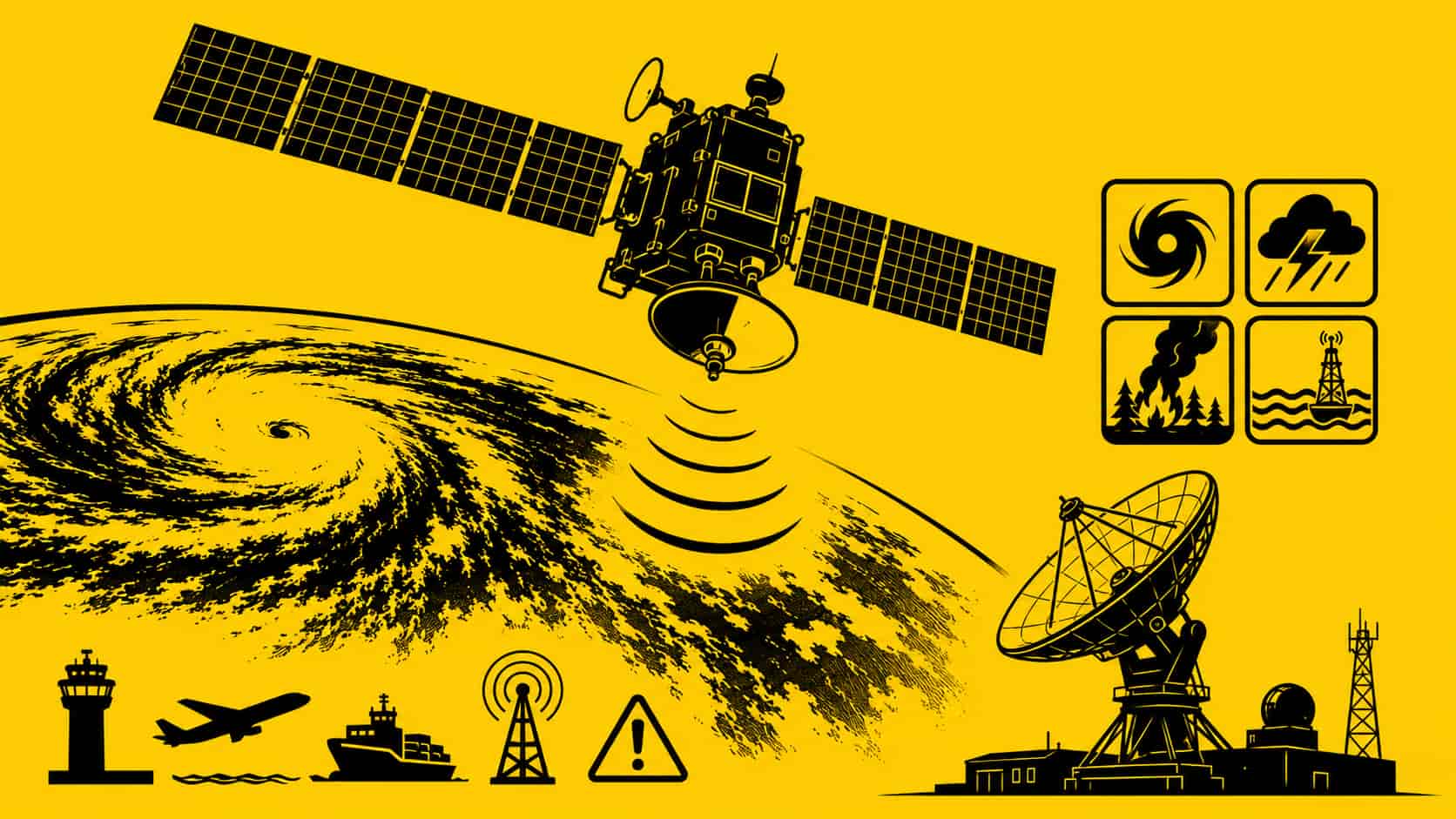
🛰️ The GOES band refers to the radio frequency spectrum used by the United States’ Geostationary Operational Environmental Satellite system, operated by National Oceanic and Atmospheric Administration and National Aeronautics and Space Administration. These satellites sit in geostationary orbit approximately 35,786 kilometres above Earth and continuously monitor weather, oceans, lightning, atmospheric conditions, and solar activity across the Western Hemisphere.
GOES satellites are among the most important pieces of infrastructure in modern meteorology. They provide the imagery behind hurricane tracking, severe storm warnings, wildfire monitoring, aviation weather systems, and real-time environmental forecasting.
Unlike low-Earth-orbit weather satellites that pass overhead periodically, GOES satellites remain fixed relative to Earth’s surface. That allows continuous observation of the same region with extremely high temporal resolution.
The latest generation, the GOES-R Series, can update storm imagery every 30 seconds in targeted regions.
📡 GOES Frequency Bands
GOES satellites use multiple frequency allocations for different services, including telemetry, command, image downlink, emergency communications, and environmental data broadcasting.
The most commonly encountered GOES frequencies by RF engineers, satellite hobbyists, and weather stations are in the L-band and S-band downlinks.
Common GOES Downlink Frequencies
| Service | Frequency Range | Purpose |
|---|---|---|
| GOES HRIT/EMWIN | ~1694.1 MHz | Weather imagery and emergency information |
| GOES GRB | ~1686.6 MHz | High-rate weather data broadcast |
| GOES DCP | 401–403 MHz uplink | Data Collection Platform sensors |
| TT&C | S-band (~2025–2110 MHz) | Telemetry, tracking, and control |
| Space weather sensors | Various | Solar and magnetospheric monitoring |
The exact frequencies vary slightly depending on the specific satellite and service.
🌦️ GOES Applications
GOES satellites support a massive range of civilian, scientific, aviation, maritime, and emergency-management applications.
Weather Forecasting
The most visible application is real-time weather imaging. GOES satellites continuously observe:
- Hurricanes
- Thunderstorms
- Tornado development
- Atmospheric rivers
- Wildfires
- Snowstorms
- Fog formation
- Cloud motion
Meteorological agencies across North America rely heavily on GOES imagery for forecasting models and severe weather alerts.
Lightning Detection
The GOES-R series introduced the Geostationary Lightning Mapper (GLM), the first operational lightning mapper in geostationary orbit.
This allows meteorologists to track lightning activity in near real time across entire continents, improving storm intensity analysis and aviation safety.
Emergency Communications
GOES satellites distribute:
- Emergency alerts
- Tsunami warnings
- Weather warnings
- Aviation advisories
- Maritime hazard notices
The Emergency Managers Weather Information Network (EMWIN) is specifically designed to provide low-cost emergency weather dissemination.
Environmental Monitoring
GOES instruments monitor:
- Sea surface temperatures
- Volcanic ash
- Wildfire hotspots
- Smoke plumes
- Air quality
- Solar storms
- Space weather
Space weather monitoring is particularly important because solar activity can disrupt GPS, HF radio, satellites, and power grids.
Remote Sensor Networks
Thousands of remote environmental sensors transmit through GOES Data Collection Platforms (DCPs), including:
- River gauges
- Flood monitoring stations
- Ocean buoys
- Seismic sensors
- Agricultural weather stations
These systems often operate in remote areas without terrestrial communications infrastructure.
🛰️ GOES Ground Stations
GOES signals are widely received by:
- National weather agencies
- Universities
- Research labs
- Emergency management centres
- Amateur satellite enthusiasts
Receiving GOES HRIT imagery has become popular in the SDR community because the broadcasts are unencrypted and continuously active.
Typical hobbyist GOES reception systems include:
- L-band patch or helical antennas
- Low-noise amplifiers (LNAs)
- Software-defined radios (SDRs)
- GPS-disciplined oscillators
- Weather decoding software
Common SDR platforms include the RTL-SDR Blog V3 and higher-performance SDRs for wider bandwidth GOES GRB reception.
⚠️ Interference in the GOES Band
The GOES band is vulnerable to multiple forms of interference because many of its downlinks operate with relatively weak received power levels at Earth’s surface.
A typical GOES signal arriving at a ground station may be far below the noise floor before amplification and signal processing.
Adjacent-Band Interference
One of the biggest practical issues is interference from nearby terrestrial wireless systems operating close to the GOES L-band frequencies.
Potential interference sources include:
- LTE systems
- 5G infrastructure
- Microwave links
- ISM devices
- High-power telemetry transmitters
Even when systems are technically outside the GOES allocation, poor filtering or strong local transmitters can overload sensitive LNAs.
LNA Overload
Many hobbyist GOES receivers use very high-gain LNAs positioned directly at the antenna feed.
If nearby strong signals enter the front end:
- The amplifier can compress
- Intermodulation products appear
- Noise floor rises
- Weak satellite signals disappear
This is especially problematic in urban environments.
📉 Downlink Margin Challenges
GOES reception becomes difficult because:
- Satellites are extremely far away
- Antennas are often small
- Atmospheric attenuation affects signals
- Rain fade impacts higher frequencies
- Polarization alignment matters
Small installation issues can significantly degrade reception quality.
🔒 Spectrum Protection
GOES frequencies are protected internationally under allocations coordinated through the International Telecommunication Union.
Because GOES supports safety-of-life weather services, regulators treat harmful interference seriously.
Interference affecting weather satellites can impact:
- Hurricane forecasting
- Aviation safety
- Maritime navigation
- Disaster response
- Flood warning systems
This makes satellite meteorology spectrum protection strategically important infrastructure.
🚀 The Future of GOES
Future GOES generations are expected to add:
- Higher imaging resolution
- Faster refresh rates
- Improved lightning mapping
- Better wildfire detection
- Enhanced atmospheric sounding
- AI-assisted weather analysis
At the same time, spectrum congestion is increasing globally.
The challenge is no longer simply launching better weather satellites. It is preserving enough clean RF spectrum for those satellites to continue operating reliably in an increasingly crowded electromagnetic environment.
The GOES system represents one of the clearest examples of how invisible RF infrastructure quietly underpins modern society. Without it, modern weather forecasting would look dramatically different.